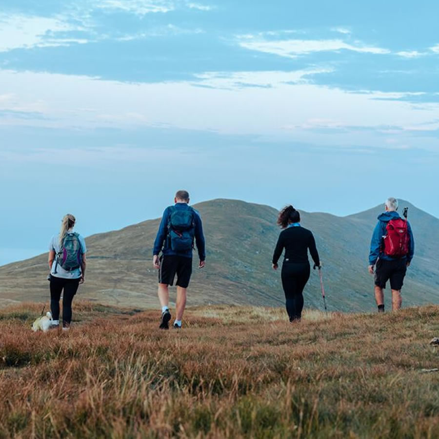
Description
North, East, South, West Summits
Sunday 21st July
West Summits
Leaving the town of Kirk Michael, you will climb the steep slopes of Slieau Curn for enchanting views northwards of the remote Glen Dhoo Valley where there is often swooping Peregrine Falcons and Hen Harriers. The route takes you along a greenway to Slieau Dhoo with its natural pool, Slieau Freoaghane, a Marilyn with a novelty bell at its peak, followed by Sartfell with its telegraph post ladder.
Summits on this route: Slieau Curn 1,148ft (350m) – Slieau Dhoo 1,417ft (432m) – Slieau Freoaghane (Marilyn) 1,601ft (490m) – Sartfell 1,490ft (430m)
Start Kirk Michael Main Road
Finish: The Mitre pub for a well-earned drink or a brew
Distance/Duration: 17km or 10.5mi / 6h
Total ascent: 744m
Difficulty: Strenuous in parts, with lots of height gain.
Terrain: Road and glen footpaths with some open moorland that is boggy in places.
Sunday 28th July
East Summits
A walk circling the Laxey Valley, you will climb four summits including Snaefell’s Marilyn. Starting from the Manx Electric Railway Station in the centre of Laxey, venture along the colourful ‘Ham & Egg Terrace’ passing the Great Laxey Wheel, through Laxey Glen and the charming Agneash village. You will soon get views back to the sea throughout the climbs, including that over Dhoon Glen and dramatic views of our largest valley Glen Mooar.
Summits on this route: Slieau Ruy 1,299ft (386m) Slieau Ouyr 1,483ft (452m) Slieau Lhean 1,539ft (469m) Snaefell (Marilyn) 2,036 (621m)
Start: The Salmon Centre Laxey
Finish: The Mines Tavern for a pint or a brew
Distance/Duration: 17km or 10.5 mi / 6h
Total ascent: 731m
Difficulty: medium/hard
Terrain: Road and glen footpaths with some open moorland that is boggy in places.
Saturday 10th August
North Summits
A stunning walk which starts in Ramsey, taking in five summits over 1,000 feet, including two of the Island’s highest summits.
The distinct ridge of North Barrule is a wonder to walk over, with fine views of the Corrany Valley, Maughold and back towards the northern plain. Following the ridge, the walk ends at the Island’s highest point, Snaefell Mountain at 2,036 feet above sea level where you’ll be treated to 360 views if you choose a clear day.
As well as the Summit Café, The Victory Café which is based by The Bungalow at the Snaefell Mountain Railway crossing will provide a warm welcoming reward and refreshment!
Summits on this route: North Barrule 1,854ft (565m) – Park Lewellyn 1,794ft (547m) – Beinn Rein 1,804ft (550m) – Claugh Ouyr 1,808ft (551m) – Snaefell (Marilyn) 2,036 (621m)
Start: Ramsey
Finish: Victory Cafe
Distance/Duration: 10.87km or 6.7mi/ 4h 30min
Total ascent: 825m
Difficulty: Difficult
Terrain: Mostly clear footpaths with some open moorland that is marshy in places. Steep in places.
Saturday 31st August
South Summits
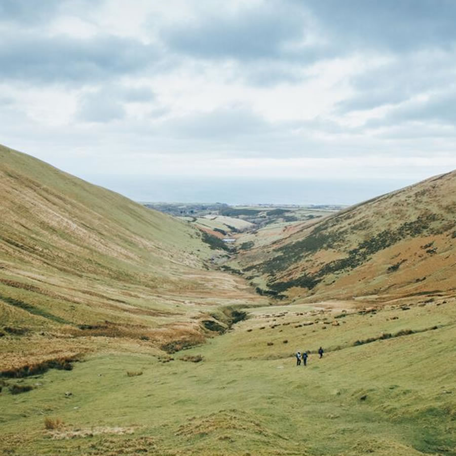
This walk offers such variety, including a valley, moorland, coastal footpath, ancient woodland and waterfalls with spectacular views to be admired from all angles of the Island, especially from the two featuring summits which are steeped in Celtic and Viking history. This spectacular walk begins and ends at Niarbyl, a place of great beauty and a paradise for photographers and nature-lovers with the chance to spot wildlife and stand on a major geological fault line.
From Niarbyl you will ascend to the top of South Barrule, believed to be the seat of Manannan – the ancient sea god. Your journey will bring you back down South Barrule before heading up Cronk ny Arrey Laa, this highest point on the Island’s iconic Raad Ny Foillan coastal footpath. From here you will witness breath-taking views of the south-west coast down towards the Calf of Man.
Summits on this route: South Barrule (Marilyn) 1,585ft (483m) – Cronk ny Arrey Laa 1,434ft (437m)
Start/Finish: Niarbyl Car Park
Distance/Duration: 20 km or 12.5mi / 7h
Total ascent: 892m
Difficulty: Difficult
Terrain: Moorland, loose stone and narrow coastal path
Reviews
There are no reviews yet.